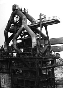
in response to some the the earlier mappings that we produced, we set out create a set of parameters that would serve to define the site. we first redefined the ground plane, applying the mesh that we generated as the base landscape. we then applied the building heights mesh as the maximum building envelope. we also decided to place all the building on the original ground plane. we placed the museum as we had in our previous scheme. we also proposed two small ribbons that would undulate through the site along the building heights mesh in order to indicate the scale of the buildings that once existed on the site.

img_1.0 - plan

img_1.2 - perspective

img_1.3 - perspective

img_1.4 - front elevation

img_1.5 - section. note building heights grid ghosted in background


No comments:
Post a Comment