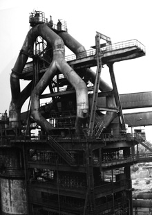
- building heights - the scale of the buildings that existed on the site dictated its experience
- historic palimpsest - the 'historic density' in various areas of the site
- rail lines - these lines dictate the movement of goods throughout the site

img_1.1 - the residual of the rail lines. high points indicate where rail lines were closely tied to a manufacturing process.

img_1.2 - the same map as above with the building height and historic density meshes shown
1 comment:
your mapping exercises seem to be the most productive. perhaps you as a group can start making leaps towards small concept models either physically or digitally. remember to use the laser cutter/3d printer. don't be sloppy about the studies.
Post a Comment